To empower organizations and communities with cutting-edge satellite data analysis and AI solutions to drive sustainable and impactful decisions towards a healthier planet."
Our Biodiversity Assessment and Monitoring service provides regular assessments and monitoring services to measure the impact of conservation projects and monitor the health of ecosystems. Our satellite data analysis and AI models help organizations and governments understand the health and changes of the environment, and help them to make informed decisions on their conservation efforts. We provide clients with accurate, up-to-date, and reliable data that is essential for successful conservation projects. With our expertise and technology, we help ensure the longevity of biodiversity and protect our planet's ecosystems.
There are several ways that AI can be applied to satellite data for biodiversity assessment and monitoring:
Image classification: AI algorithms can be used to automatically classify satellite images into different categories, such as forests, wetlands, and grasslands.
Object detection: AI can be used to identify and track specific objects in satellite images, such as wildlife, habitats, and conservation sites.
Change detection: AI algorithms can be used to detect changes in land cover over time, such as deforestation or degradation of ecosystems.
Predictive modeling: AI can be used to create predictive models of biodiversity and ecosystem health, based on satellite data and other sources of information.
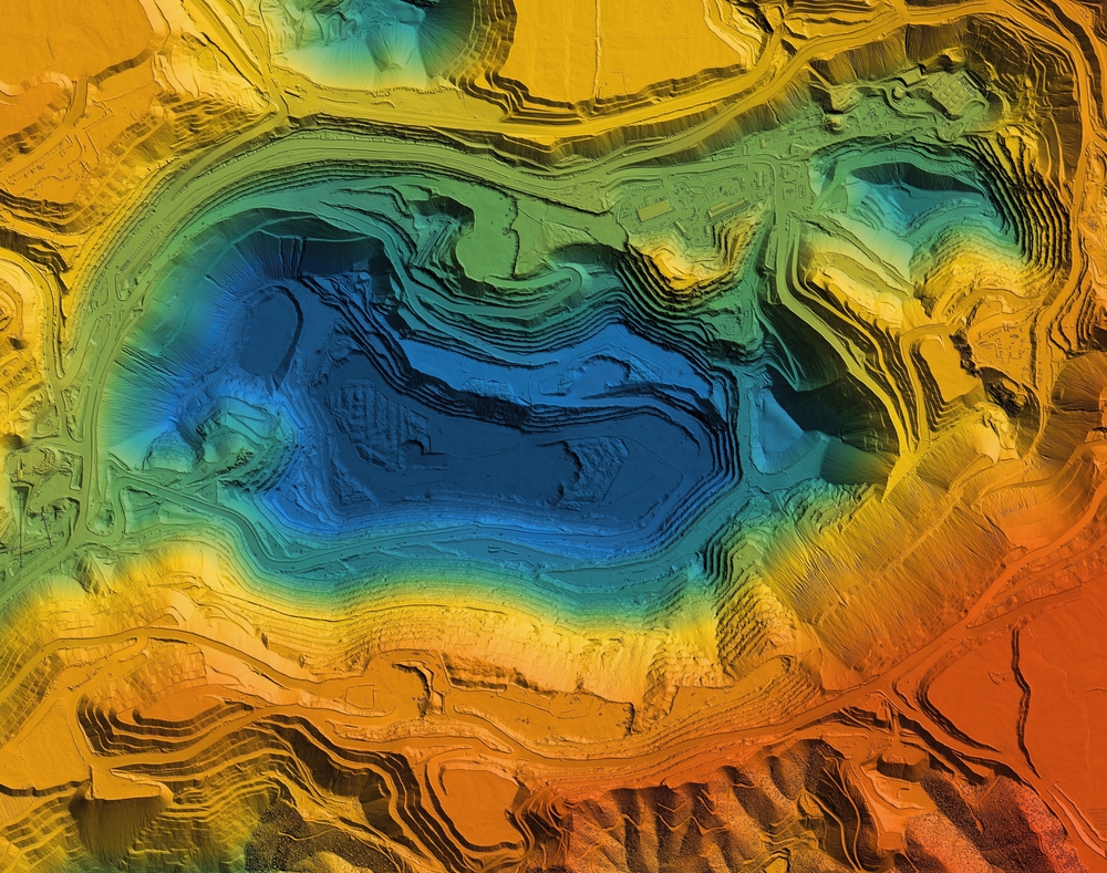
Data analysis and visualization: AI algorithms can be used to analyze and visualize satellite data, helping to identify patterns and trends that may be useful for decision-making in conservation and ecosystem management.
By leveraging AI and satellite data, our service can provide more accurate, timely, and cost-effective assessments of biodiversity and ecosystem health, helping to support conservation efforts and informed decision-making.